Suite Condor

Context

The IGN (National Geographic Institute) and the CNIG (National Center of geographic information) asked us in 2000 to prepare a cartographic viewer from scratch that would allow multiple possibilities. Starting from the creation of a National Geographic Atlas. At this time, Google Maps did not exist.

Condor arises from the request by the National Geographic Institute (IGN) and the National Center for Geographical Information (CNIG) to package IGN cartography in a non-open format for mass distribution, including cartographic viewers in the distribution itself .

Solution

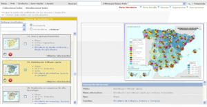
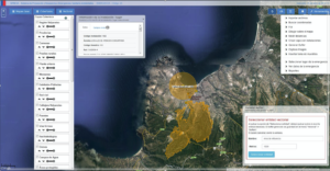
We created the CONDOR geographic information system that allows the user to easily navigate from orthoimages. This product allows showing the digital model of the terrain with the elevations, shadows, heights and other facilities that, until now, were not possible.

In addition, it allows importing, viewing and editing geo-referenced information from various data sources. It also gives the possibility of cartographic treatment in 2D, 2.5D and 3D.

Other complementary tools such as the G2 Tool were developed to convert the information to multiple formats, the LinceServer mapping server or the GatoServer application server.

Improved Results

  • El factor de éxito del proyecto es la sencillez del mismo.
  • Permite gran agilidad para el análisis.
  • Aporta una potente visualización en 2D, 2,5D y 3D.
  • Es un producto para uso masivo que no requiere la especialización técnica del usuario.